About this service
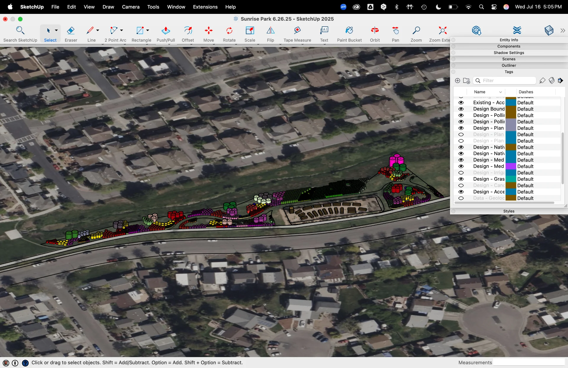
Precision mapping forms the backbone of effective landscape design. Our to-scale base maps combine cutting-edge surveying technology with detailed field observations to create comprehensive visual documentation of your site. We capture 1-foot contour intervals for precise elevation mapping, integrate high-resolution satellite imagery, and document all existing infrastructure including buildings, rooflines, roads, and utilities. Our maps detail hardscape elements, water features, and vegetation patterns. Advanced 3D topography rendering is available for complex sites, and professional drone imagery provides unique aerial perspectives that enhance both design accuracy and visual presentation of your project.